Reference library

Blog

Long-form assessment of technology and education. Every substantive claim links to a primary or authoritative source; every article ends with its reference list.

Showing articles about part time work international students

57 articles
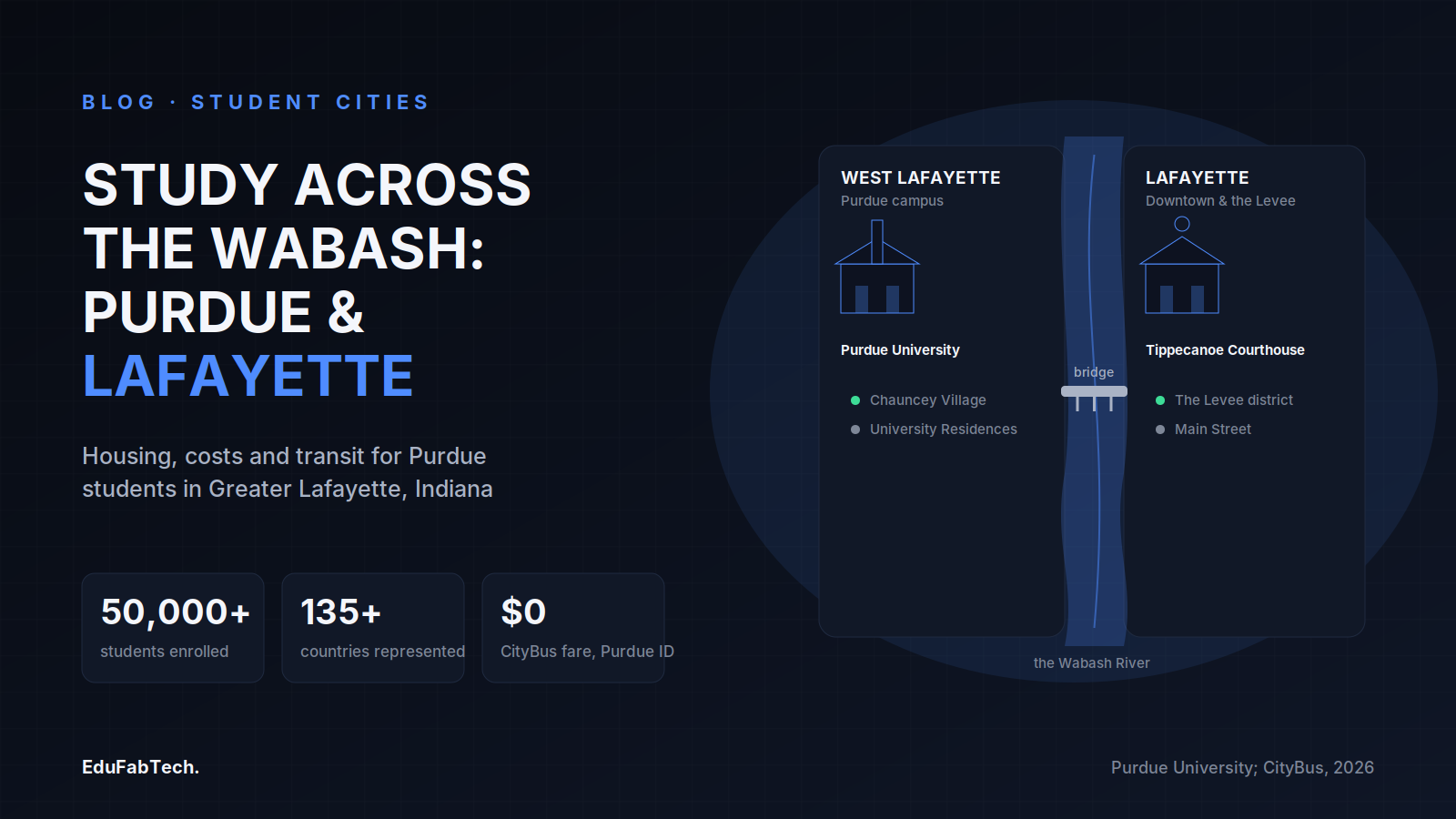
A schematic river map shows West Lafayette's Purdue campus and Lafayette's downtown linked by a pedestrian bridge over the Wabash, with headline stats on enrollment, international diversity and free student bus fare.
🏙️ Student Cities Explainer

Studying in Lafayette, United States: universities, housing and student life

What it is really like to study in Greater Lafayette, Indiana: Purdue's named colleges and schools, how to rent safely near campus, 2026-27…
EduFabTech · 36m ago · 9 min read
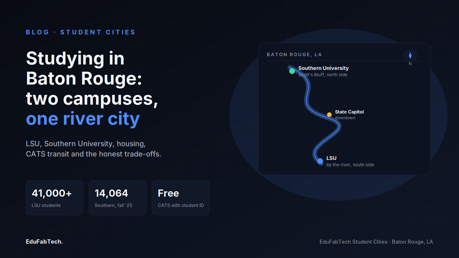
A stylized map of Baton Rouge showing Southern University to the north, the State Capitol downtown, and LSU to the south along the Mississippi, with enrollment and transit stats.
🏙️ Student Cities Explainer

Studying in Baton Rouge: universities, housing and student life

Baton Rouge has two big public universities on the Mississippi. Here is how students live there: neighbourhoods, dorm rates, renting safely…
EduFabTech · 2h ago · 9 min read
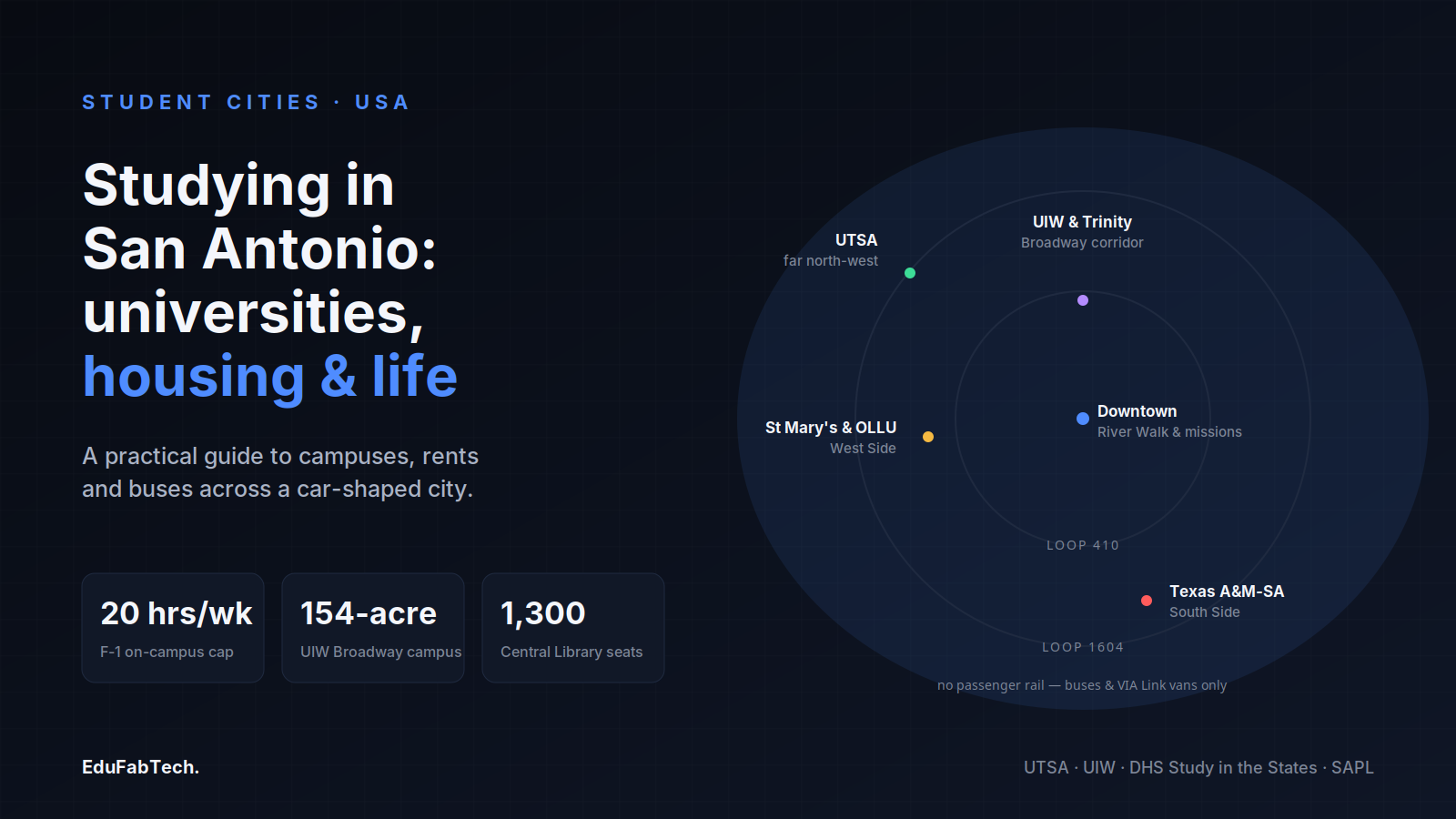
A loop-highway map of San Antonio pins the city's scattered campuses — UTSA, UIW & Trinity, St Mary's & OLLU, and Texas A&M-San Antonio — around downtown and the River Walk.
🏙️ Student Cities Explainer

Studying in San Antonio: universities, housing and student life

From UTSA's far north-west campus to the South Side and the West Side, a grounded look at housing, costs, transport and study spaces for st…

EduFabTech · 5h ago · 10 min read
A schematic map of Oʻahu's south shore locating the four campuses — UH–West Oʻahu in Kapolei, HPU downtown, UH Mānoa in the valley, and Chaminade on the Kaimukī ridge — alongside key stats on cost and work rules.
🏙️ Student Cities Explainer

Studying in Honolulu: universities, housing and student life

From UH Mānoa in Mānoa Valley to HPU on the downtown waterfront, here is how studying and living in Honolulu actually works — housing, cost…
EduFabTech · 7h ago · 10 min read
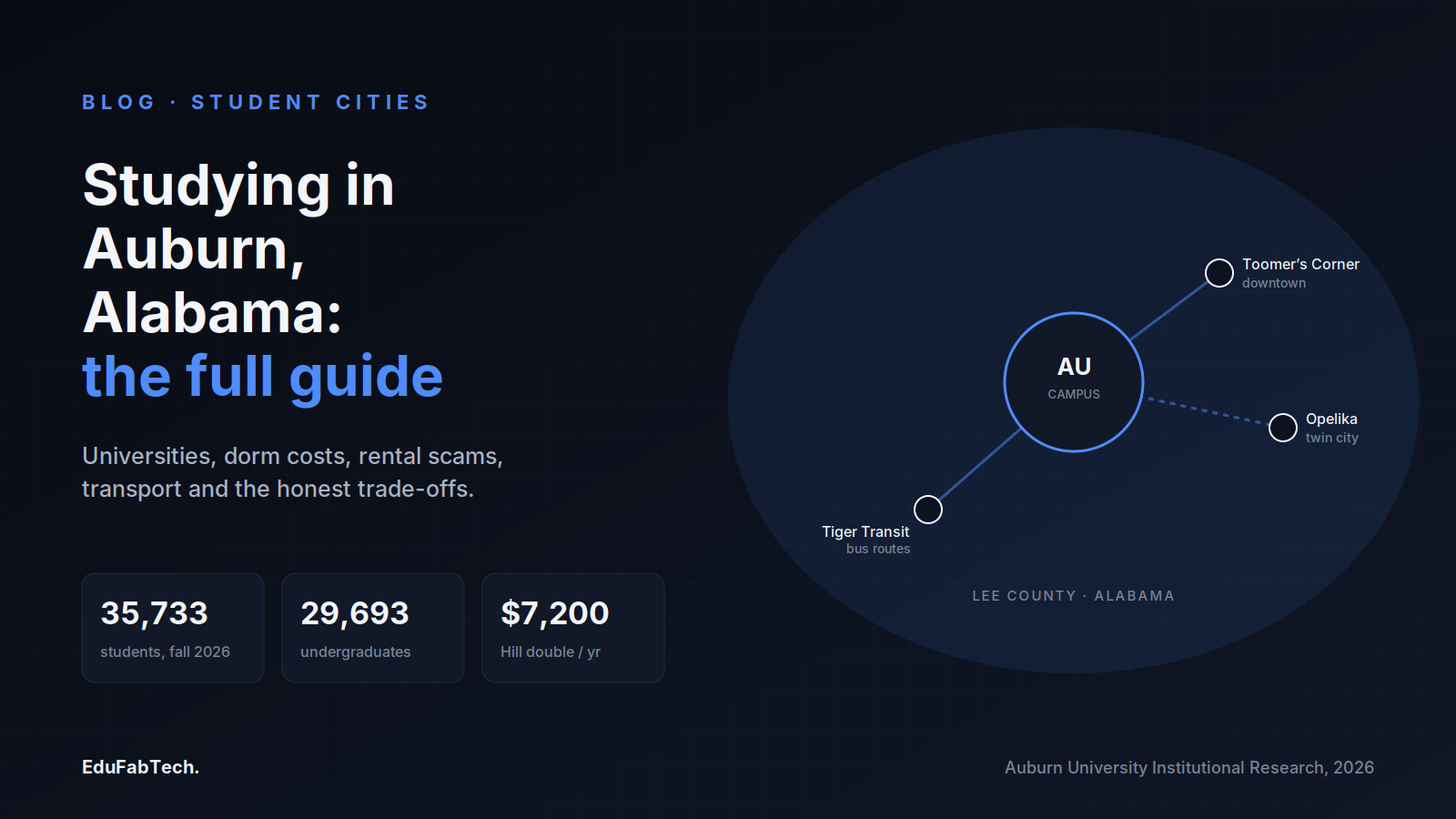
A town-map schematic linking Auburn University's campus, downtown Toomer's Corner, Tiger Transit and twin-city Opelika, with headline stats on fall 2026 enrollment and dorm cost.
🏙️ Student Cities Explainer

Studying in Auburn, United States: universities, housing and student life

What it is actually like to study and live in Auburn, Alabama: Auburn University and nearby Tuskegee, on-campus room rates for 2026-27, ren…
EduFabTech · 9h ago · 11 min read
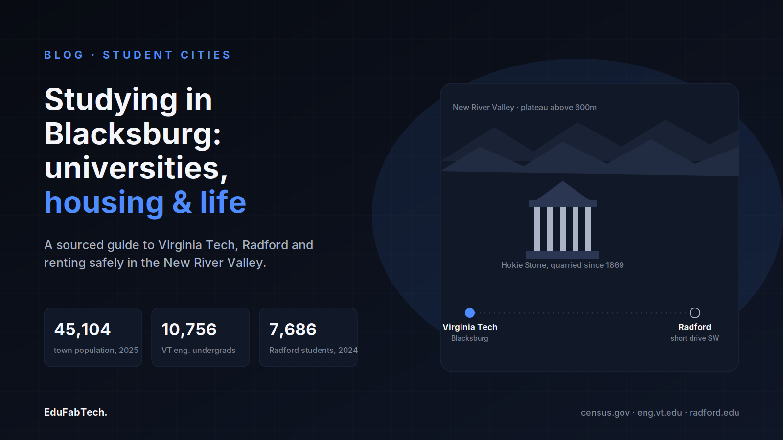
Blacksburg's skyline of Appalachian ridges and Hokie Stone architecture, with Virginia Tech and nearby Radford linked, alongside the town's population and each university's enrollment.
🏙️ Student Cities Explainer

Studying in Blacksburg: universities, housing and student life

Blacksburg is a small Appalachian town built around Virginia Tech. Here is how studying and living there actually works: housing, rents, th…
EduFabTech · 14h ago · 10 min read
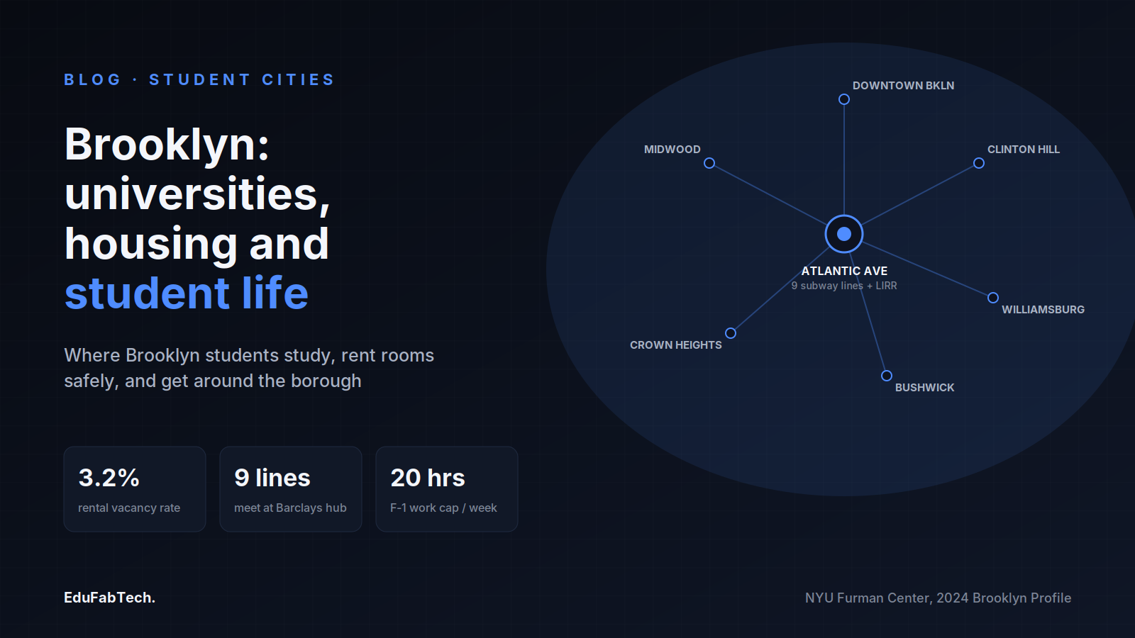
A transit-map diagram shows Brooklyn's six key student neighbourhoods radiating from the Atlantic Avenue–Barclays Center subway hub, with vacancy, transit, and F-1 work-hour stats.
🏙️ Student Cities Explainer

Studying in Brooklyn: universities, housing and student life

Where to study in Brooklyn, where students live, how to rent without losing a deposit, part-time work rules for international students, and…
EduFabTech · 16h ago · 10 min read
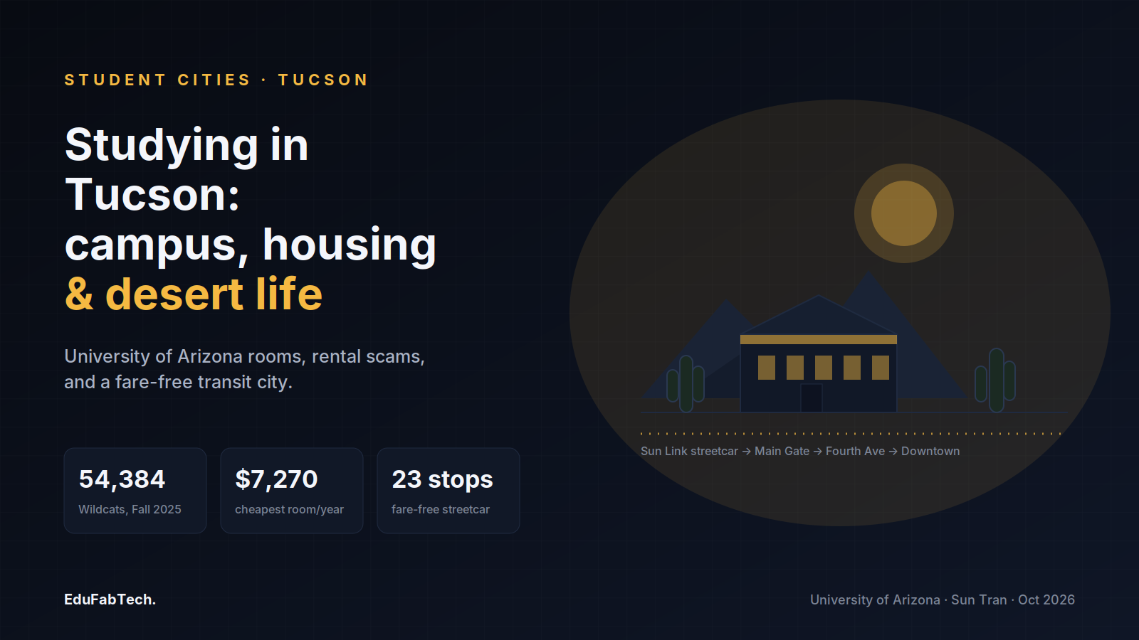
A desert-and-campus skyline for the University of Arizona guide, with Fall 2025 enrollment, the cheapest dorm rate, and the fare-free streetcar's 23 stops.
🏙️ Student Cities Explainer

Studying in Tucson: universities, housing and student life

What it is really like to study in Tucson: the University of Arizona and its specialist colleges, campus halls and midtown neighbourhoods, …

EduFabTech · 18h ago · 8 min read
A grid-city schematic of Salt Lake City's numbered addresses, TRAX line and east-bench campus, with enrolment, rent and free-transit stats.
🏙️ Student Cities Explainer

Studying in Salt Lake City: universities, housing and student life

Where students live in Salt Lake City, how to find a room safely, what housing and transit actually cost, and the good and the hard of stud…
EduFabTech · 23h ago · 11 min read
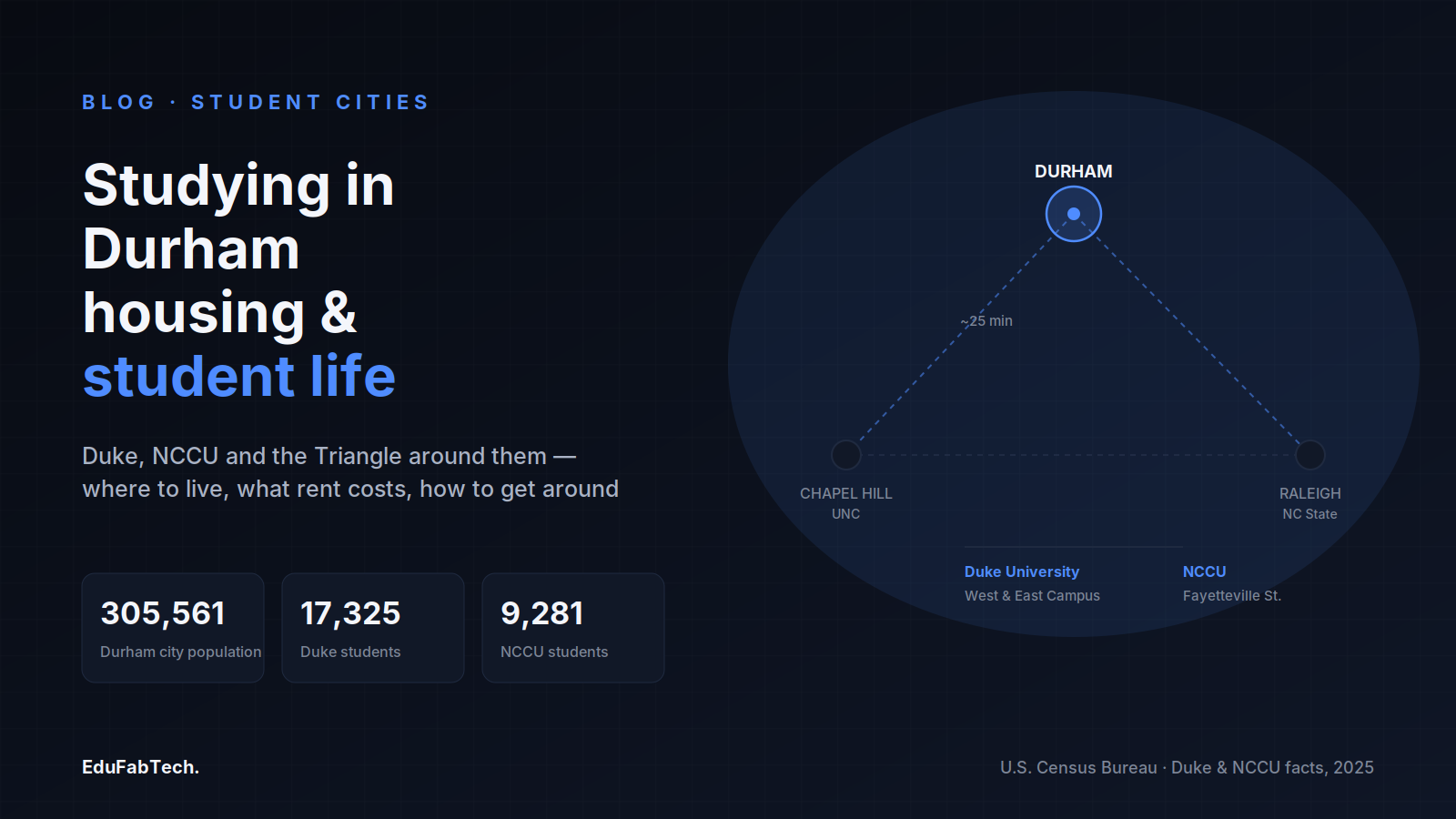
A map of the Research Triangle centers Durham between Chapel Hill and Raleigh, with population, Duke and NCCU enrollment figures.
🏙️ Student Cities Explainer

Studying in Durham: universities, housing and student life

Durham hosts Duke and North Carolina Central and sits minutes from Raleigh and Chapel Hill. Here is where students live, what rooms cost, h…

EduFabTech · 1d ago · 10 min read
A stylized coastal map locates UCSB's headland campus next to Isla Vista, with headline stats on majors, bus fare, and I.V. lease terms.
🏙️ Student Cities Explainer

Studying in Santa Barbara: universities, housing and student life

What it is like to study and live in Santa Barbara, California — the campuses, where students find rooms in Isla Vista, how to avoid rental…
EduFabTech · 1d ago · 9 min read
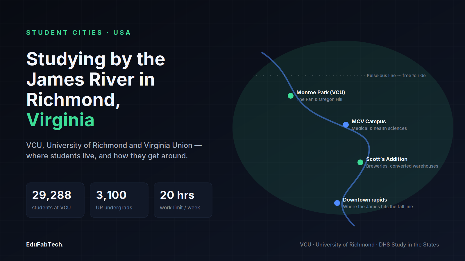
A stylized map of downtown Richmond tracing the James River past VCU's Monroe Park campus, the MCV medical campus and Scott's Addition, with VCU and University of Richmond enrollment and the student work-hour cap.
🏙️ Student Cities Explainer

Studying in Richmond, Virginia: universities, housing and student life

Richmond packs a 29,000-student public university, a leafy private campus and a historic HBCU into one riverside capital. Here is where stu…

EduFabTech · 1d ago · 11 min read
Page 1 of 5 Next →