Reference library

Blog

Long-form assessment of technology and education. Every substantive claim links to a primary or authoritative source; every article ends with its reference list.

Showing articles about student housing

78 articles
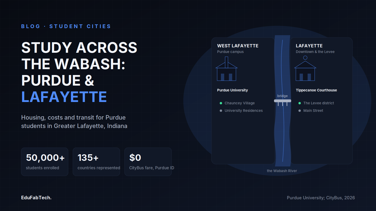
A schematic river map shows West Lafayette's Purdue campus and Lafayette's downtown linked by a pedestrian bridge over the Wabash, with headline stats on enrollment, international diversity and free student bus fare.
🏙️ Student Cities Explainer

Studying in Lafayette, United States: universities, housing and student life

What it is really like to study in Greater Lafayette, Indiana: Purdue's named colleges and schools, how to rent safely near campus, 2026-27…
EduFabTech · 1h ago · 9 min read
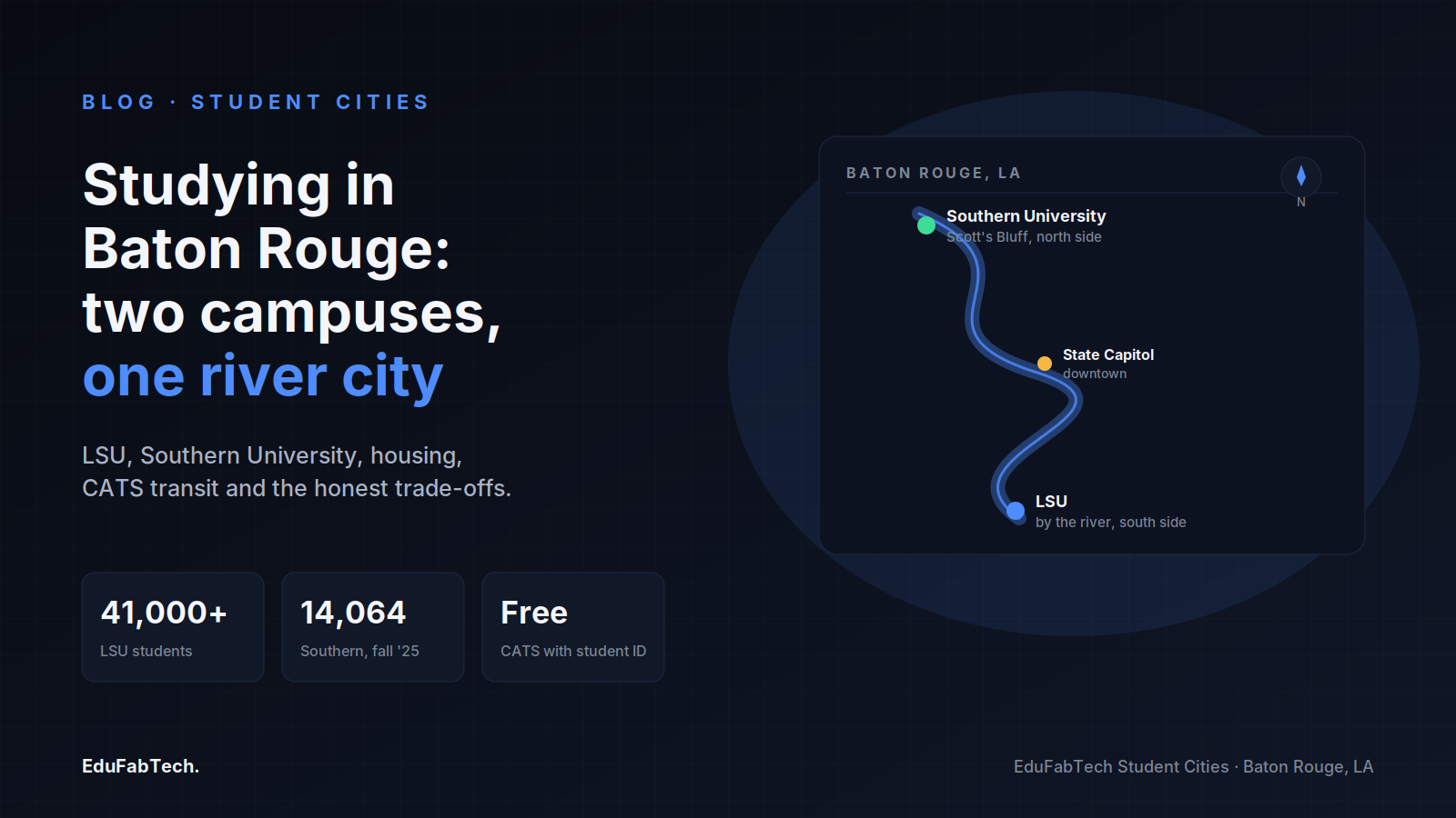
A stylized map of Baton Rouge showing Southern University to the north, the State Capitol downtown, and LSU to the south along the Mississippi, with enrollment and transit stats.
🏙️ Student Cities Explainer

Studying in Baton Rouge: universities, housing and student life

Baton Rouge has two big public universities on the Mississippi. Here is how students live there: neighbourhoods, dorm rates, renting safely…
EduFabTech · 3h ago · 9 min read
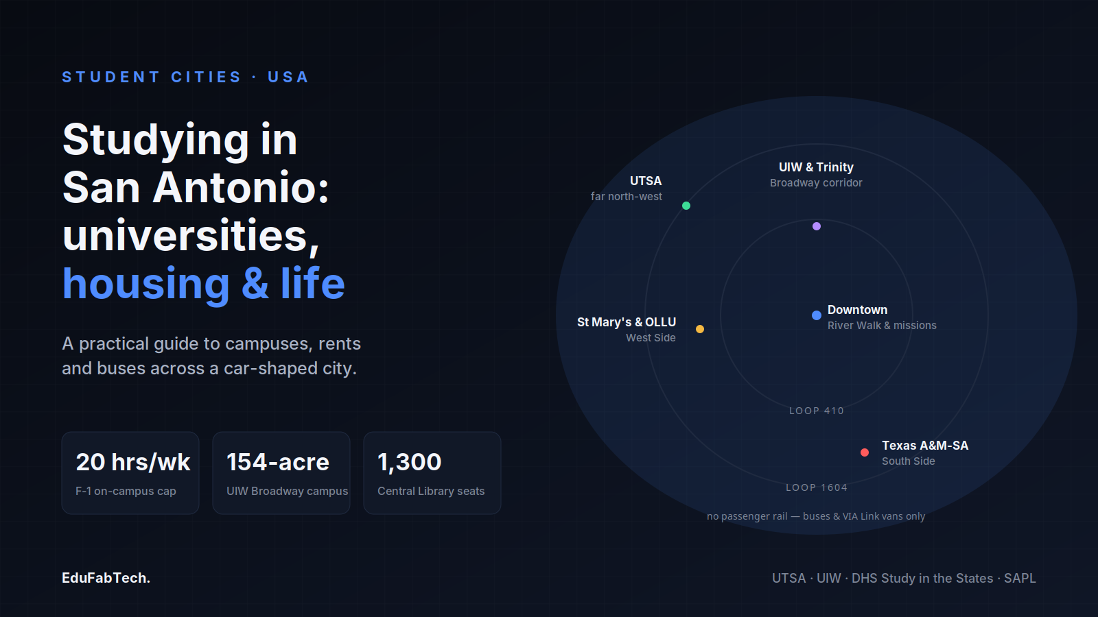
A loop-highway map of San Antonio pins the city's scattered campuses — UTSA, UIW & Trinity, St Mary's & OLLU, and Texas A&M-San Antonio — around downtown and the River Walk.
🏙️ Student Cities Explainer

Studying in San Antonio: universities, housing and student life

From UTSA's far north-west campus to the South Side and the West Side, a grounded look at housing, costs, transport and study spaces for st…

EduFabTech · 6h ago · 10 min read
A schematic map of Oʻahu's south shore locating the four campuses — UH–West Oʻahu in Kapolei, HPU downtown, UH Mānoa in the valley, and Chaminade on the Kaimukī ridge — alongside key stats on cost and work rules.
🏙️ Student Cities Explainer

Studying in Honolulu: universities, housing and student life

From UH Mānoa in Mānoa Valley to HPU on the downtown waterfront, here is how studying and living in Honolulu actually works — housing, cost…
EduFabTech · 8h ago · 10 min read
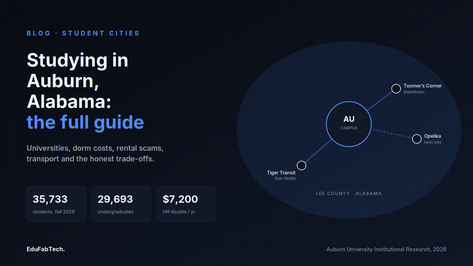
A town-map schematic linking Auburn University's campus, downtown Toomer's Corner, Tiger Transit and twin-city Opelika, with headline stats on fall 2026 enrollment and dorm cost.
🏙️ Student Cities Explainer

Studying in Auburn, United States: universities, housing and student life

What it is actually like to study and live in Auburn, Alabama: Auburn University and nearby Tuskegee, on-campus room rates for 2026-27, ren…
EduFabTech · 10h ago · 11 min read
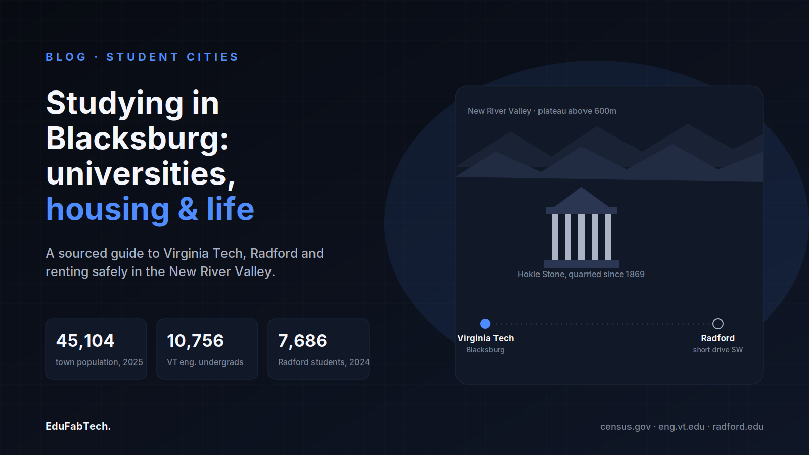
Blacksburg's skyline of Appalachian ridges and Hokie Stone architecture, with Virginia Tech and nearby Radford linked, alongside the town's population and each university's enrollment.
🏙️ Student Cities Explainer

Studying in Blacksburg: universities, housing and student life

Blacksburg is a small Appalachian town built around Virginia Tech. Here is how studying and living there actually works: housing, rents, th…
EduFabTech · 14h ago · 10 min read
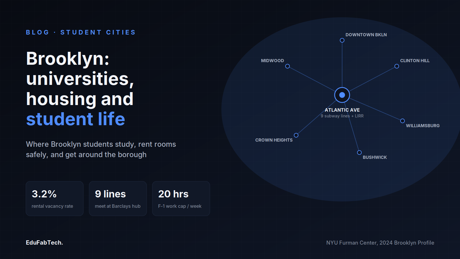
A transit-map diagram shows Brooklyn's six key student neighbourhoods radiating from the Atlantic Avenue–Barclays Center subway hub, with vacancy, transit, and F-1 work-hour stats.
🏙️ Student Cities Explainer

Studying in Brooklyn: universities, housing and student life

Where to study in Brooklyn, where students live, how to rent without losing a deposit, part-time work rules for international students, and…
EduFabTech · 17h ago · 10 min read
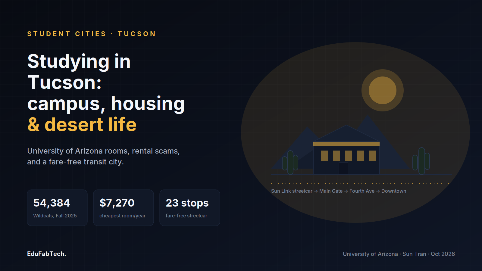
A desert-and-campus skyline for the University of Arizona guide, with Fall 2025 enrollment, the cheapest dorm rate, and the fare-free streetcar's 23 stops.
🏙️ Student Cities Explainer

Studying in Tucson: universities, housing and student life

What it is really like to study in Tucson: the University of Arizona and its specialist colleges, campus halls and midtown neighbourhoods, …

EduFabTech · 19h ago · 8 min read
A grid-city schematic of Salt Lake City's numbered addresses, TRAX line and east-bench campus, with enrolment, rent and free-transit stats.
🏙️ Student Cities Explainer

Studying in Salt Lake City: universities, housing and student life

Where students live in Salt Lake City, how to find a room safely, what housing and transit actually cost, and the good and the hard of stud…
EduFabTech · 23h ago · 11 min read
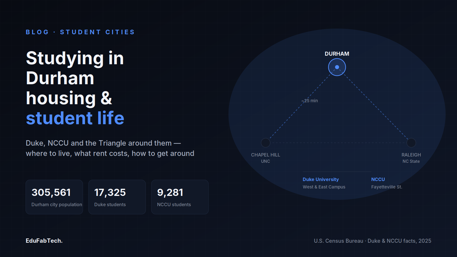
A map of the Research Triangle centers Durham between Chapel Hill and Raleigh, with population, Duke and NCCU enrollment figures.
🏙️ Student Cities Explainer

Studying in Durham: universities, housing and student life

Durham hosts Duke and North Carolina Central and sits minutes from Raleigh and Chapel Hill. Here is where students live, what rooms cost, h…

EduFabTech · 1d ago · 10 min read
A stylized coastal map locates UCSB's headland campus next to Isla Vista, with headline stats on majors, bus fare, and I.V. lease terms.
🏙️ Student Cities Explainer

Studying in Santa Barbara: universities, housing and student life

What it is like to study and live in Santa Barbara, California — the campuses, where students find rooms in Isla Vista, how to avoid rental…
EduFabTech · 1d ago · 9 min read
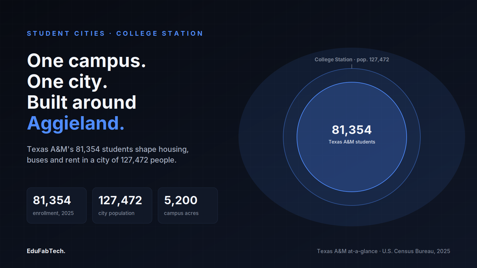
Two nested circles show Texas A&M's 81,354 Fall 2025 students sitting inside a College Station of 127,472 residents, alongside the campus's 5,200 acres.
🏙️ Student Cities Explainer

Studying in College Station: universities, housing and student life

College Station is a Texas city shaped almost entirely by Texas A&M University. Here is what studying there is like — the campus, the neigh…

EduFabTech · 1d ago · 11 min read
Page 1 of 7 Next →